AEW employee shares expertise of historical GIS at SEMCOG meeting
Posted on March 20, 2025
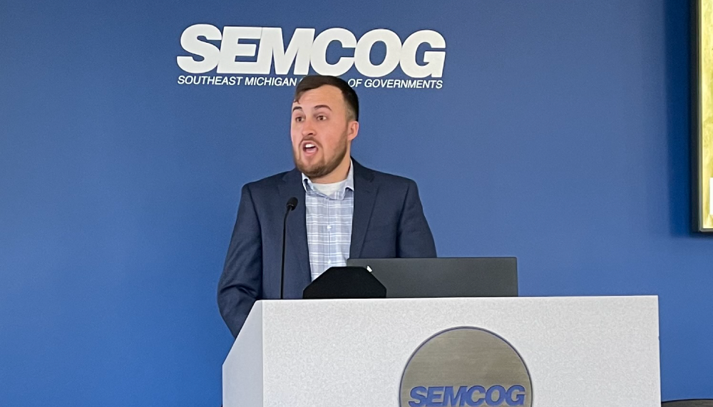
Anthony Kowalchick, a GIS analyst at Anderson, Eckstein & Westrick, Inc., gives a March 13 speech at a Southeast Michigan Council of Governments (SEMCOG) event in Detroit.
DETROIT — For Anthony Kowalchick, a map can be more than a snapshot of the present. It can also be a window into a place’s past.
During a March 13 Southeast Michigan Council of Governments (SEMCOG) event in Detroit, Kowalchick gave a speech about his experiences using a historical geographic information system (HGIS) as a GIS analyst at Anderson, Eckstein & Westrick, Inc.
Following his speech, Kowalchick said he spoke before an audience that included officials from SEMCOG, over a dozen Michigan municipalities, and the state.
“I hoped that the public would learn what to look out for when it comes to making these maps, how to notice fake information, and how to proceed with making one of these maps,” he said.
According to Kowalchick, HGIS organizes geographical data from the past into a format that can be used to demonstrate how places evolve over time. In addition, it provides a log of organized historical information that community groups or historical societies can use for reference or education.
Kowalchick said he has used HGIS while working with the Romeo Historical Society.
“It has really helped Romeo organize their data at the museum and allow the public and staff to locate information easier,” he said.
He also has done HGIS mapping for the Shelby Township Historic Committee, and the fruits of his work are publicly accessible online via this link. In addition, visitors who stop by the Romeo Historical Society Museum, 290 N. Main St., from 7 to 9 p.m. on Tuesdays may also see and use its historical map.
Kowalchick explained that the craft of making a historical map requires discernment and care, as old maps used as reference for the project can sometimes contain intentional inaccuracies.
“In regard to fake info, it was common practice in the 1800s and early 1900s to have something fake in a map that was not signed by an engineer or surveyor,” Kowalchick explained.
“This was because cartographers back then did not have a copyright law in place for their work. So they would put something fake in the map, so if it was copied, the fake feature would be copied as well, and then they could sue the person who copied it. These fake features were known as ‘paper towns.’”
Kowalchick, who has been part of the AEW team since 2019, holds a Bachelor of Science degree in GIS, with a minor in history, from Central Michigan University. He also is the president of the Oakland Township Historical Society.