Surveying is an integral part of our business. AEW conducts boundary surveys, topographical and architectural surveys, control for aerial mapping and land title surveys, construction staking, GIS inventory, and GPS control. We also prepare legal descriptions for properties, rights-of-way and easements.
AEW performs terrestrial and aerial scanning services using state-of-the-art equipment and highly-trained professional personnel. Scanning of a building’s interior and exterior enables our staff to develop accurate plans for the design and construction of a facility’s functionality and aesthetics while bringing it current to today’s building codes and ADA compliance.
Scanning technology can also be used to gather horizontal and vertical data for tunnels, water mains, and sewer improvement projects.
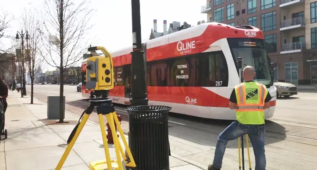
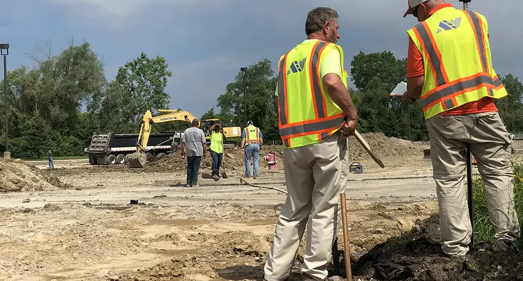
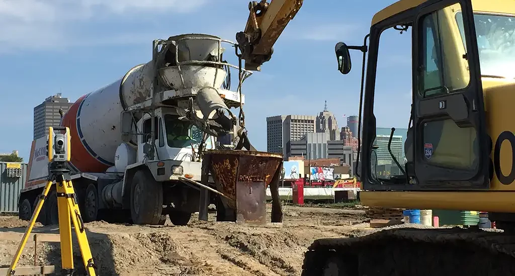
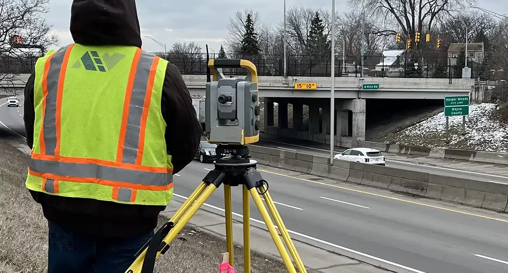
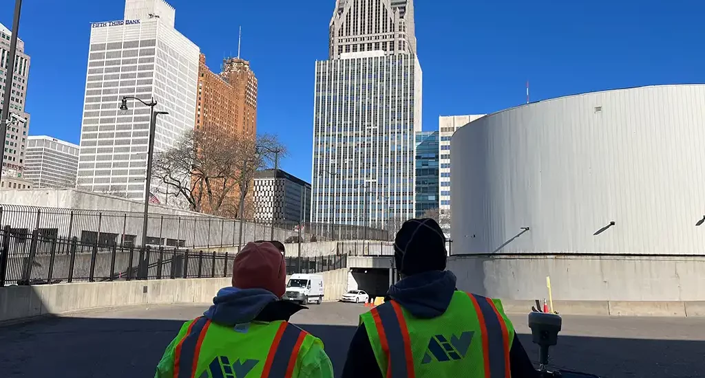
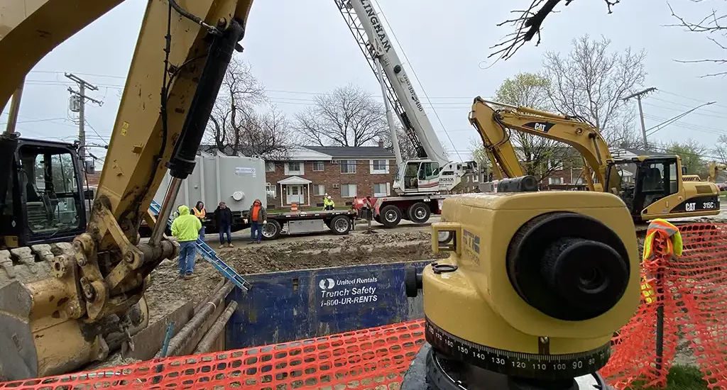
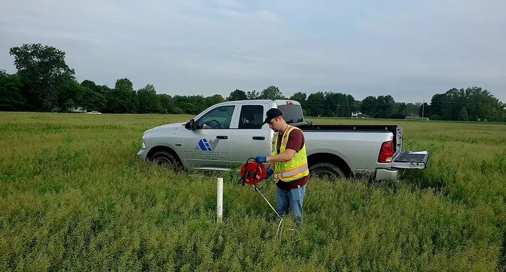
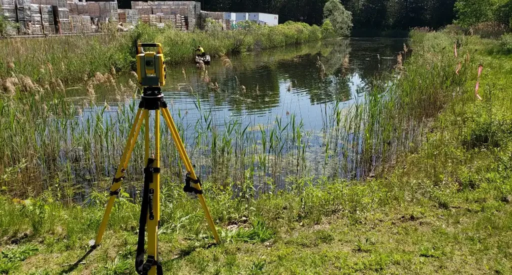
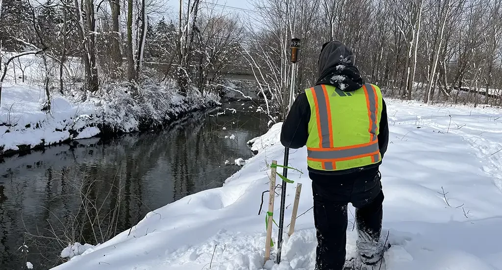

AEW uses state-of-the-art methods and equipment, including drones, and highly skilled personnel, with three FAA licensed drone pilots on staff, to assist with phase layout and staking for the significant number of construction projects we manage. Survey information, obtained with electronic total stations/data collectors, or global positioning system (GPS) receivers, is digitally transferred to the computers used by our design staff. Design information is then transferred from the computer system to the total stations/data collectors to aid with construction layout in an efficient and technology-rich manner.