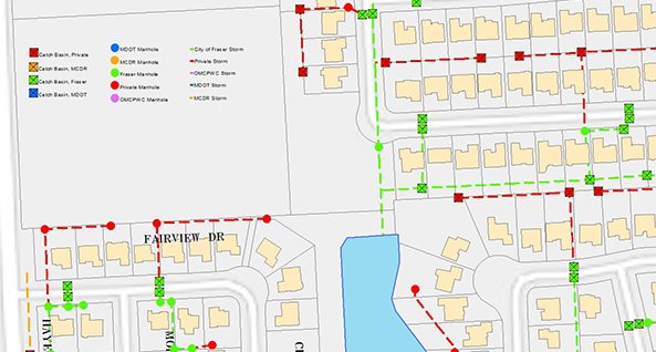
Geographic Information System (GIS) Project: Fraser
Since 1999, AEW has provided GIS project coordination on a yearly basis for the City of Fraser. With 70 miles of water main and storm sewers and 58 miles of sanitary sewers, the City’s utility maps and databases have been weaved together through a combination of GPS data collection, historical as-built drawings, and several CCTV investigations. AEW’s GIS services have expanded beyond just simple water and sewer maps to include sewer rehabilitation tracking, hydrant flow testing databases, and roadway datasets, which include information relating to yearly PASER ratings, as well as pavement joint and crack sealing and concrete rehabilitation programs.

