It’s Not a Toy
Posted on June 16, 2021
It was Christmas of 2015. In the midst of hanging garland and ornaments, my sister called. “Can you look into drones? I’d like to get one for Dad, but I don’t know anything about them” she said. Being her brother, and possibly being the name she’d drawn for the sibling gift exchange, I was more than happy to assist. I began researching drones. Unknown to me then, it was the beginning of the use of drones at AEW.
I knew nothing of drones, except they looked like a cool toy in that one store in the mall at Christmas time. After a few hours of research, I began to realize that I needed to know more, a lot more, about drones. These aircraft were capable of mapping! The accuracy claims seemed impossible, but if true, drones would be a useful tool in a surveyor’s toolbox.
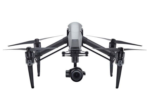
Within a couple of weeks, I was the proud owner of not one, but two drones. An inexpensive drone to learn how to fly/crash, and I learned a lot about flying and crashing. Then I had to try the expensive drone. I really, really did not want to learn to crash the expensive drone. To my surprise, the expensive drone was much easier to fly. Instead of being influenced by a breeze as light as a flea sneeze, the expensive drone automatically countered environmental influences and responded only to my commands. Flying with an inexpensive drone is a challenge. Flying with the expensive drone was, you might say, a breeze! I was liking these toys … er …tools more and more.
Mapping is one of the services a surveyor provides. For ages, the surveyor’s or cartographer’s map was the only “bird’s eye” view of land. Technology has brought imaging technology such as Google Earth™ (GE) to our fingertips. But, as convenient as GE is (I use it all the time), the imagery can be a few years old and the resolution is marginal, unless GE taps into those spy satellites that, according to tv shows, can read a postage stamp, through a car window, at night with no lights. If these drones had better resolution than GE and allowed easy acquisition of imagery that was only a few hours old, then the toy would be a tool – an awesome tool!
My first mapping trial was a school in my neighborhood. Mapping with a drone is a science called photogrammetry. It requires many photos of the same object from different perspectives. Remember the old View Master toys that we would use to see 3d images of Donald Duck? If you looked with only one eye, and kept changing from eye to eye, you soon realized that the images were slightly different. The overlapping images, viewed from different perspectives (eyes) allowed you to see in 3d. That’s photogrammetry (I apologize to my photogrammetry instructor from college for the Looney Tunes comparison). But how do I get all of the photos with all of the overlapping imagery? Not a problem. The drone software calculates a flight mission that will get all of the necessary imagery autonomously! It literally flies itself.
I must admit, when I pushed the “Fly” button the first time and sent my expensive drone to the heavens for a flight mission that was completely controlled by software, I was just a bit anxious. For only a brief moment, I lost sight of it when the drone flew (by itself) past the school that blocked my view. I had a sick feeling in my gut wondering if my drone would ever come back, and wondering how I was going to explain to my wife that I had just let a mortgage payment fly away into the sunset. But, to my delight and amazement, a few moments later, the drone came back from behind the school and continued to fly a zig-zag pattern for the next 10 minutes. All I had to do was watch and wait for it to land, and transfer the images to, ironically, “the cloud” for processing. I could not wait to see my first drone map.
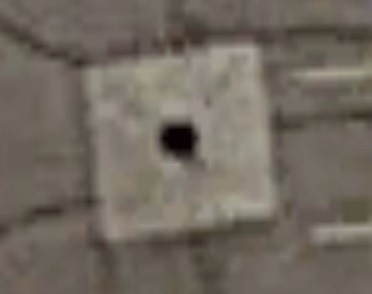
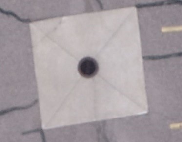
It was amazing!! The map, which was a compilation of parts of 200+ photos, looked like one big picture! And the resolution was incredible! I flew the drone at an altitude of 150 feet above ground. The resolution, from the on-board 12mp camera, was similar to taking a picture with an iPhone 12 phone. But, instead of a small field of view, I had the school, playground, parking lot and athletic fields all in one photo. I could zoom in to a parking lot storm grate and it was clear and identifiable. Try that on GE!
By this time, I was hooked. My ground-proofing tests were great. I could measure distances on the drone imagery and the distances were the same as what I measured in the field. This was just too good to be true. In about 15 minutes of my time, I had mapped the entire property of a school, and it was fun. How could this get any better? Then I saw the 3d map option in the software. No way!
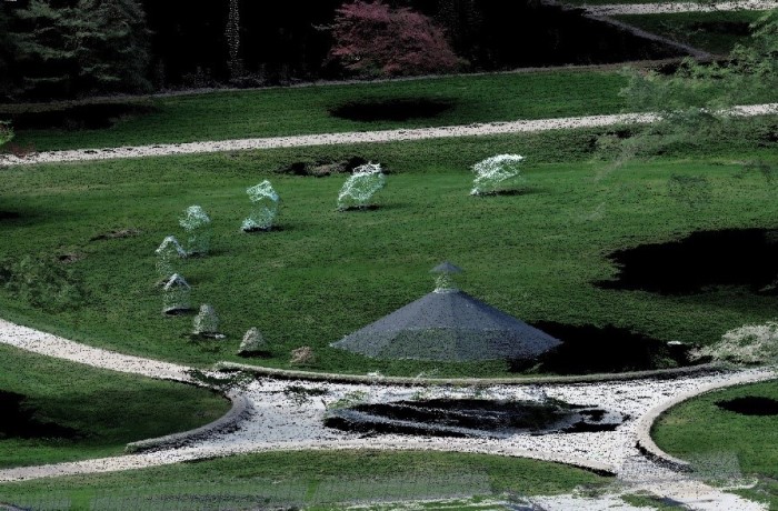
Sure enough, not only had the software created to true-to-scale photo of the entire school property, but it had also created a 3d image that was really cool! I could rotate and spin the image of the school in any direction and see the school from any perspective that struck my fancy. And, it gets better! I could measure the elevations – accurately! The tests that I performed proved that I could measure elevations that were with a few inches of being the same elevation as my field measurements. Unreal. That capability opens up a host of applications for mapping and measuring. Besides, it looks really, really cool!
I find it hard to stay grounded with the amazing capability of drones. We can create cool maps. We can map hazardous areas without endangering personnel. We can get video and photos from overhead that are otherwise unavailable. We can bring the outdoors environment indoors to our computer, which gives us much more detail, and we don’t overlook anything.
Photogrammetry has been around since before the Wright Brothers gave us a way to easily obtain aerial imagery. Affordable drones are relatively new, but they are here to stay.
So, what about Christmas? Was Dad happy? He certainly was, until he launched his new drone and watched the wind immediately take it out of sight, never to be seen again. Coincidentally, after discovering drones during Christmas of 2015, the Christmas of 2016 found our engineering firm as the lead for addressing a large sinkhole that was swallowing houses. I got a message on Christmas Day 2016 to bring one of AEW’s new drones to the sinkhole site the next day and everyday thereafter. It was a great application as we used our drone to assist in the year-long repair of the sinkhole. A request to find my Dad a drone turned into an opportunity to find AEW a great new tool (no! it is not a toy!). Amazing!

Craig Amey, Survey
My official signature block says, “Craig P. Amey, PS, Senior Project Surveyor”. I looked up “Senior” in my Encyclopedia Britannica and the definition included words like “elderly”, “older” or the ever-comforting phrase, “in their final years”. Normally, this wouldn’t bother me much, but with the renovations of our office, they replaced my chair with an easy-up recliner, my desk with a TV tray, and my computer with a Sudoku book. Now they’ve asked me to contribute to something called a blog. I am supposed to write about our surveying department and put it on that internet thing. I guess I can write a thing or two, because as the insurance company says, “I’ve seen a thing or two”. I guess I better get writing, right after my nap.